By Willow (willowashmaple.xyz)
In the early history of Oregon, ferries were important part of its infrastructure. Roads were built to connect towns to the ferries. The names of such roads still remain to this day: Scholls Ferry Road, Taylors Ferry Road, and Boones Ferry Road.
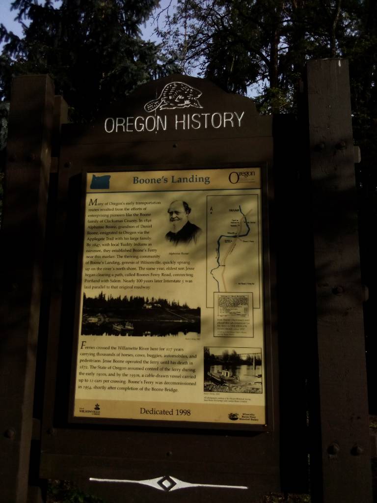
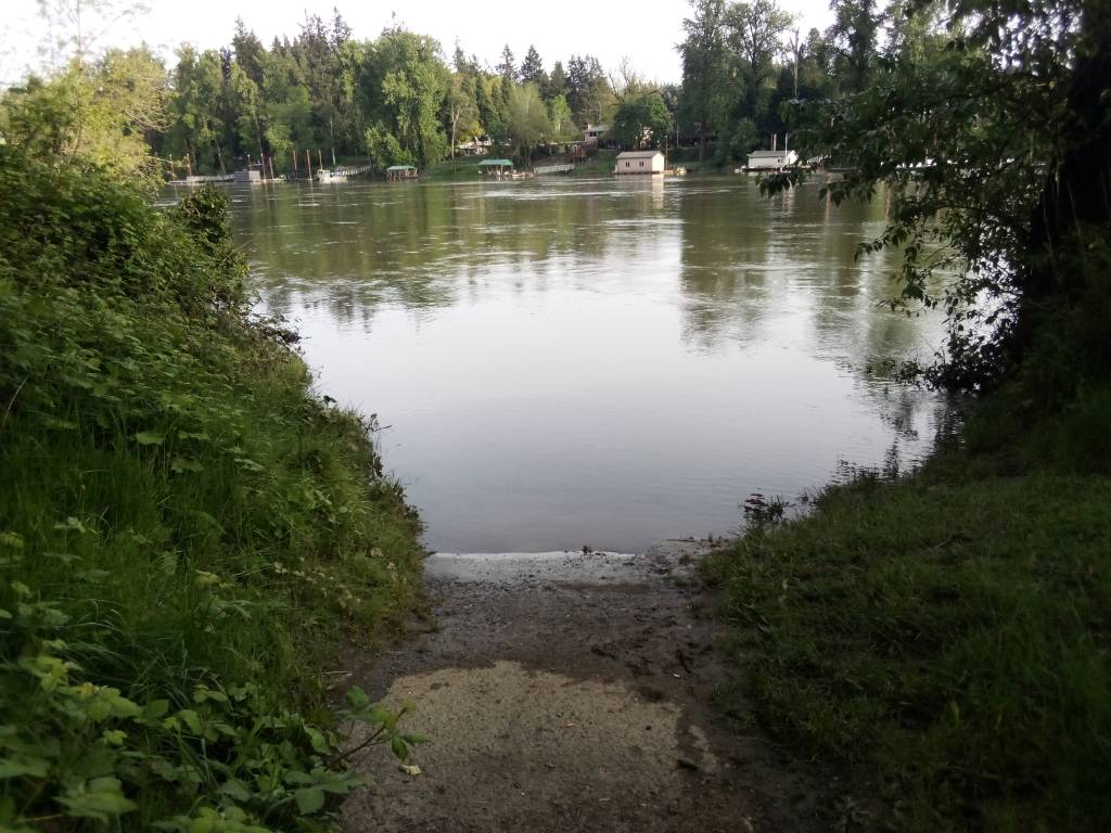
Boones Ferry Road starts near the Lewis & Clark Law School and Tryon Creek State Park in Southwest Portland, branching off from Terwilliger Road. It the runs southwest through parts of Portland (SW Boones Ferry Road) western Lake Oswego (Boones Ferry Road), Tualatin (SW Lower Boones Ferry Road), and then to Wilsonville (SW Boones Ferry Road). For most of its route it's a major arterial road, with parts of it being an unsigned state highway. As it enters Wilsonville's Old Town the street narrows and quiets down, and ends in Boones Ferry Park as a narrow walking trail leading down to Willamette River.
Before the construction of the railroad bridge to the west, the only way across the river was "Boone's Ferry." The town was also originally called Boone.
On the other side of the river, Boones Ferry Road (called NE Boones Ferry Road in Clackamas County, Boones Ferry Road NE in Marion County) continues south through Aurora and Woodburn, and ends where it meets Portland Road NE halfway between Woodburn and Gervais.
Between Portland and Wilsonville, house numbers are consistently based on the Portland-centric numbering system, with numbers going up as you travel south. On the other side of the Willamette, the numbers are Salem-centric and go down as you travel south towards Woodburn.
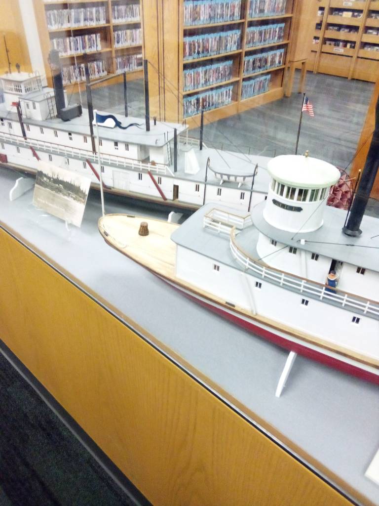
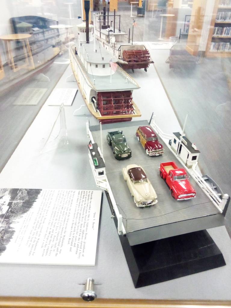
Wilsonville Public Library has a model display of the ferry boats that once served this place.
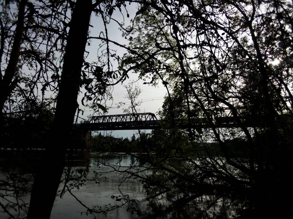
Now the only connection between Wilsonville and Aurora is Interstate 5 (bicycles and pedestrians are legally permitted on the shoulders, but the safer alternative is to ride the free SMART bus, which is equipped with a bike rack, across the bridge from Wilsonville SMART Central Station to Charbonneau).
more photos are on my pixelfed
----
Wilsonville Public Library
South Metro Area Regional Transit (SMART)
murals under I-5
Explore Wilsonville
----
Copyright 2022-2024. Articles on this site may be used freely under the terms of the Cooperative Nonviolent Public License version 7 or the latest, whichever the newer (CNPL v7+). All other uses require the express permission of the author. See the contact page (on Gemini or WWW: willowashmaple.xyz/contact; on Gopher: gopher://willowashmaple.xyz:70/0/willowashmaple/contact) for email and other ways to get in touch.
----
return home
headlines
subscribe (rss)
tip jar